

Passive muon imaging for critical infrastructure
See Inside Infrastructure.
See Beneath the Surface.
Geoptic provides specialist muon imaging systems and services that reveal subsurface and structural density changes, improving confidence in risk assessments and remediation decisions.
Trusted by partners and clients across infrastructure, energy, nuclear, defence and research.








Applications
Find the evidence your investigation needs
Muon imaging helps engineers investigate structures and ground where conventional methods have limited reach, without drilling or disrupting operations.
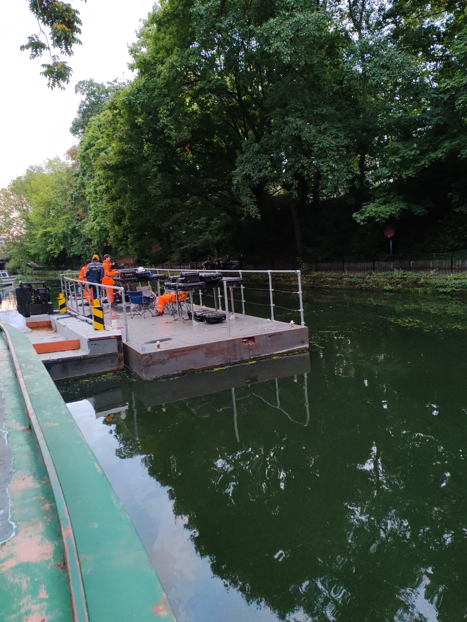
Tunnels and buried infrastructure
Identify density changes, voids and unknown features beyond accessible surfaces.
Explore this application →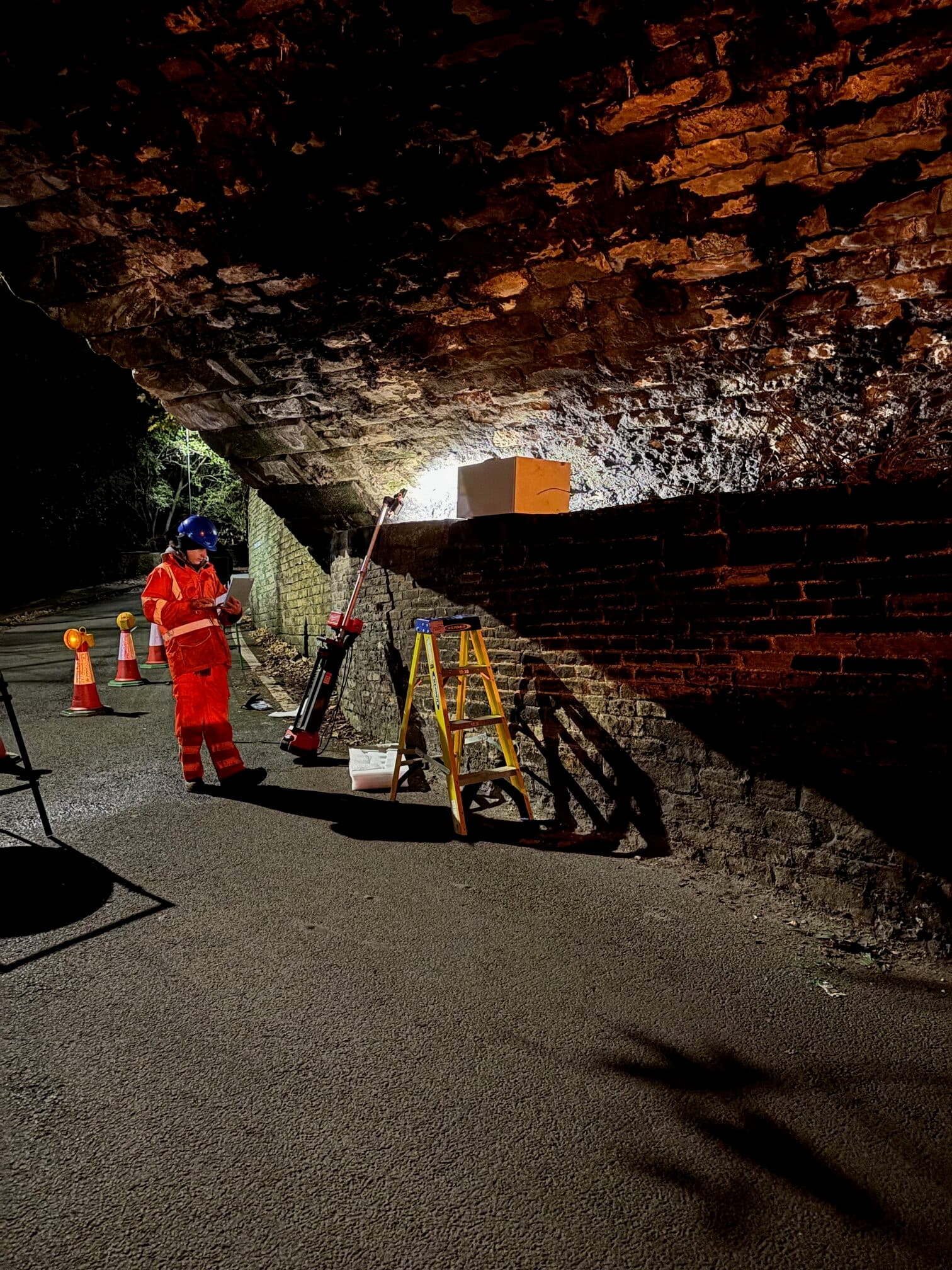
Viaducts and dense structures
Investigate internal variations where conventional inspection has limited capability.
Explore this application →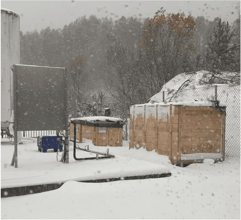
Subsurface voids and geology
Characterise voids, interfaces, fault zones and other features affecting project risk.
Explore this application →Evidence from real investigations
From a difficult diagnostic question to engineering evidence
Geoptic deploys detectors around or within demanding assets, interprets the measured density response and produces information that supports practical decisions.
Explore project delivery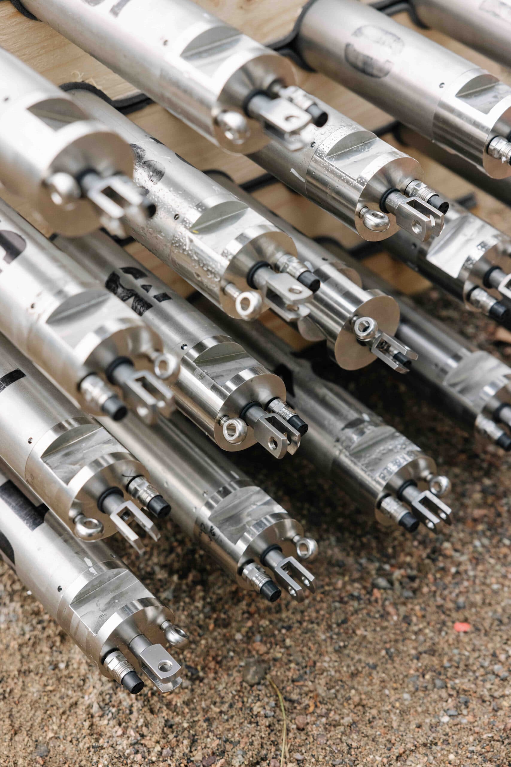

Computational Platform
Cloud-powered insights for every muon investigation
MuonOS is Geoptic's cloud-based insight platform, bringing survey design, detector data, simulation and analysis into one connected workflow. Simulate, Connect, Render and Report give teams a continuous path from field measurement to clear, traceable engineering evidence. Tiered access is available to match the needs of individual projects, recurring users and enterprise teams.
Simulate
MuonOS Simulate provides a browser-based environment for designing a muon imaging investigation before equipment reaches the site. Import representative CAD, BIM or geological geometry, define the target volume and physical constraints, and position virtual detectors around the structure or subsurface feature. The platform simulates muon trajectories and the expected measurement response so alternative layouts, viewing angles and collection strategies can be compared before deployment. This reduces uncertainty in survey design, helps avoid costly repositioning on site and establishes whether the proposed geometry and acquisition time can answer the engineering question.
Platform capabilities
- Import and work with site geometry, target volumes and access constraints
- Create and compare virtual detector layouts and viewing angles
- Simulate muon trajectories, expected coverage and measurement response
- Use scenario evidence to refine detector numbers, positions and acquisition time
Tiered access
Foundation access supports core simulation and guided planning for individual projects. Delivery access adds richer geometry workflows, scenario comparison and tools for teams running investigations repeatedly. Enterprise access supports governed multi-user operation, deeper integrations and advanced export requirements.
Discuss MuonOSHow it works
A measured route from feasibility to evidence
- 01
Feasibility assessment
Review the asset, target feature, access constraints and expected measurement conditions.
- 02
Survey design and simulation
Model the expected muon response and determine detector locations, geometry and collection times.
- 03
Deployment and data collection
Install suitable detector systems with minimal interference to normal asset operations.
- 04
Analysis and reporting
Convert measurements into density information, visualisations and engineering evidence.
Technical confidence
Specialist imaging developed for industry
Geoptic is a UK university spin-out developing and deploying muon imaging systems for civil engineering, energy, nuclear and other technically demanding applications.
- Spin-out from three UK universities
- King's Award for Enterprise: Innovation 2025
- ISO 9001 certified
Questions we can answer early
Will it work at my site?
In most cases, yes. Before any deployment, we carry out a feasibility assessment using your site geometry, target size, material thickness and expected density contrast. This allows us to predict the measurement performance, identify the best detector positions and confirm that muon imaging can deliver a useful result before you commit to a survey.
How long will it take?
We tailor the survey design to your site, establishing the ideal geometry and collection time so deployment is efficient and well planned.
What happens first?
Tell us about your asset, the feature you would like to investigate and the access available, and we will be pleased to discuss feasibility with you.
Developments
Recent projects and company news
Next step
Could muon imaging reduce risk in your project?
Share the asset, suspected feature and available access. Geoptic can provide an initial view on feasibility and the most appropriate survey approach.
Discuss an investigationInitial discussions are confidential and do not require a completed survey specification.